Lately, the market for navigation systems has seen some pretty exciting progress, mainly because of new tech innovations—especially in the area of Inertial Platforms. According to a report by MarketsandMarkets, the inertial navigation system market is expected to hit around USD 13.7 billion by 2025, with a steady growth rate of about 6.9% from 2020 to 2025. Poseidon International Group, based in Hong Kong and founded back in 2013, is really leading the charge here. They focus on independently researching, designing, and manufacturing high-tech inertial navigation systems (INS) and fiber optic gyroscopes (FOG).

When we look at the latest developments in Inertial Platforms, it's pretty clear how crucial they are for making navigation more accurate, dependable, and efficient. You’ll find these technologies powering everything from self-driving cars to complex attitude and control systems. As these innovations keep evolving, it’s exciting to think about how they’ll reshape navigation—and the industry as a whole—for years to come.
The Evolution of Inertial Platforms in Navigation Technologies
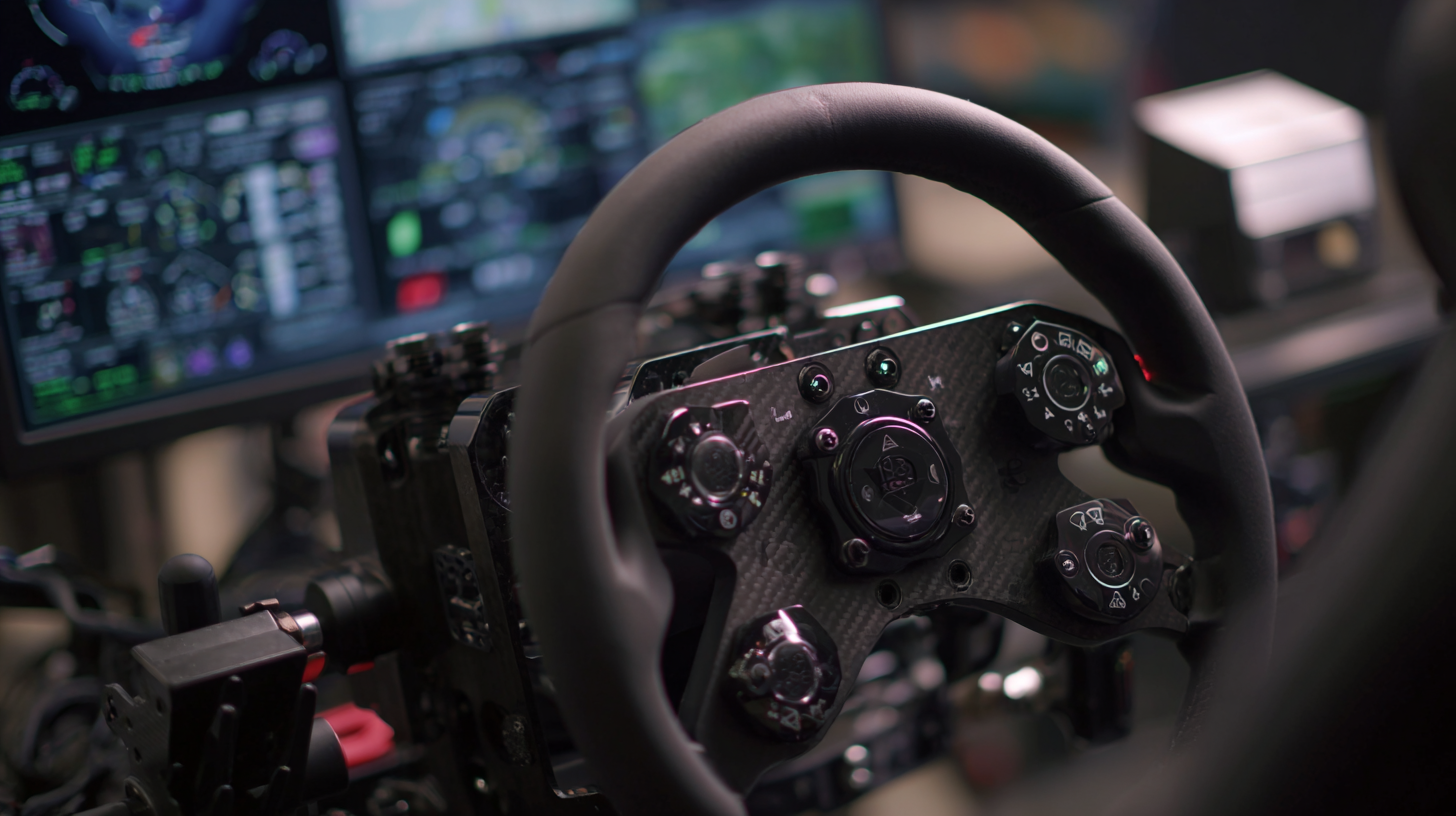
Lately, inertial platforms have really come a long way, totally changing how we do navigation across a bunch of different fields. Basically, these devices use accelerometers and gyroscopes to figure out where they are and which way they're facing. And the cool part? They've gone from these clunky, bulky setups in the past to sleek, super-precise gadgets that easily fit into today's tech gear. This upgrade isn’t just about looking better — it’s made things way more accurate and responsive. You can see their impact everywhere, from commercial airplanes and ships to self-driving cars and even our everyday smartphones.
If you're thinking about adding inertial navigation into your own projects, it’s worth taking a moment to really think about what you need. Things like the environment your device will be used in, how precise it has to be, and how well it can work with other navigation tools — all these factors matter.
The steady push for better inertial platforms comes from the need to have real-time data and more advanced sensors. Thanks to microelectromechanical systems, or MEMS for short, these sensors are now tiny, cheaper, and way more efficient. That’s why we’re seeing inertial tech popping up not just in high-end gear but in everyday gadgets, wearable devices, and even smartphones. It’s pretty amazing that accurate navigation is now accessible to so many people.
Just a heads up — keep an eye on the latest trends, especially things like sensor fusion, which combines data from different sources to make navigation even better. Staying updated can really give you an edge when working with this tech.
Key Innovations Driving the Future of Inertial Navigation Systems
The field of inertial navigation systems is really buzzing right now, with some pretty exciting innovations that could totally change the way we navigate today. Recently, there's been a lot of focus on designing MEMS (that’s Micro-Electro-Mechanical Systems) inertial sensors that can actually handle shocks and vibrations — stuff that's super important when you’re trying to pinpoint your position with precision. Oh, and there's this big project — a $2 million push — to develop tiny micromechanical oscillators that help make these navigation tools more reliable and better performing than ever before.
One of the coolest breakthroughs lately is the new optical gyroscope tech, which is set to shake up maritime navigation big time. This fancy, high-tech gear promises higher accuracy and stability — crucial for both commercial ships and military vessels. Plus, the whole quantum navigation scene is starting to become real — some big companies are already jumping in, signing contracts to prototype systems that use quantum physics for guidance. It’s pretty exciting to see how these cutting-edge advancements are shaping the future of navigation.
When you're looking into navigation tech, it’s a good idea to think about how adaptable different systems are to rough environmental conditions. And, of course, keeping an eye on new sensor tech developments can give you a sneak peek into what’s coming next in terms of precision and reliability.
Exploring the Innovations of Inertial Platforms in Modern Navigation Systems
| Dimension |
Description |
Key Innovations |
Impact on Navigation Systems |
| Sensor Technology |
Advancements in MEMS and fiber optic sensors. |
High precision and miniaturization. |
Improved accuracy and reliability in various conditions. |
| Data Fusion Techniques |
Combining data from multiple sources for enhanced performance. |
Kalman filtering and machine learning algorithms. |
Better decision-making and situational awareness. |
| Power Management |
Optimization of energy consumption in inertial platforms. |
Low-power components and smart management systems. |
Extended operational time for mobile and remote devices. |
| Integration with AI |
Utilizing artificial intelligence for navigation improvements. |
Autonomous navigation algorithms. |
Higher levels of autonomy and adaptability in navigation. |
| Advanced Algorithms |
Development of more sophisticated navigation algorithms. |
Adaptive algorithms that respond to real-time data. |
Enhanced performance in dynamic environments. |
Benefits of Integrating Inertial Platforms with GPS Technology
You know, combining inertial platforms with GPS tech has really flipped the script on how we do navigation these days. It’s pretty amazing how much more reliable, accurate, and smooth things have become thanks to this combo. I was reading a recent report from the International Journal of Navigation and Observation, and apparently, when you merge Inertial Navigation Systems (INS) with GPS, you get about 50% better accuracy—big deal, especially in tricky spots like busy city streets or dense forests where GPS signals tend to get blocked or messed up. By using both technologies together, users can enjoy much more seamless navigation, even when one system struggles a bit.
One of the biggest perks here? It’s all about avoiding those annoying GPS signal losses. The American Institute of Aeronautics and Astronautics pointed out that dual systems keep things running smoothly because they provide continuous tracking and stability. Plus, inertial platforms quickly update your position and speed—super handy for real-time stuff like self-driving cars or robots. Essentially, it means that even if GPS drops out temporarily, your system can still keep you on track, which is huge for safety and efficiency.
A word of advice, though: If you’re thinking of integrating inertial platforms with GPS, make sure to regularly calibrate your sensors to keep drift in check. Also, be prepared for the system to get a little more complex and might require more maintenance. Keeping an eye on performance over time through regular check-ups can really help ensure everything stays accurate and reliable.
Real-World Applications of Inertial Navigation in Various Industries
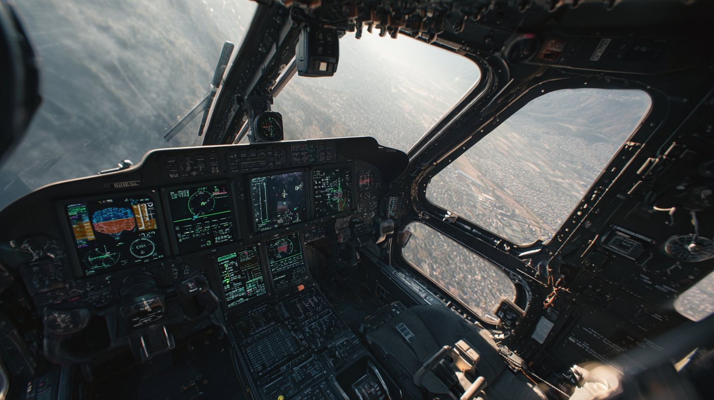
Inertial navigation systems, or INS for short, have really become essential in a bunch of different industries these days. They’re especially handy in situations where GPS signals might get spotty or just don’t work well. The aerospace world, for example, has been using this tech pretty early on — they rely on high-tech inertial platforms to keep flights safe and operations smooth. And it’s a big deal; according to MarketsandMarkets, the global market for inertial navigation is expected to jump from around $10.3 billion in 2023 to about $18.8 billion by 2028. That just shows how much folks are leaning on INS in aviation these days.
But it’s not just airplanes, you know? Cars, especially those working on self-driving tech, are also getting in on the action. They’re combining INS with GPS and computer vision to get a clearer, more accurate picture of where they are at all times. A report from Allied Market Research predicts that the market for automotive inertial measurement units will hit roughly $2.8 billion by 2026 — all driven by the boom in advanced driver-assist systems (like lane-keeping, adaptive cruise, and such). These systems basically help vehicles know exactly where they are in real time, which is super important for making autonomous driving a reality.
And let’s not forget the defense sector — they depend a lot on inertial navigation to make sure missions go off without a hitch, even in tough environments. When INS is combined with other navigation tools, the performance of military vehicles and gear gets a big boost, giving soldiers better awareness of their surroundings. Industry projections say that the defense inertial navigation market could top $5 billion by 2025 — a clear sign of how vital this tech has become for modern warfare and security operations.
Challenges and Limitations of Current Inertial Navigation Systems
You know, as demands for really precise navigation keep rising, it’s clear that current Inertial Navigation Systems (INS) aren't perfect. One big headache is this thing called deflection of vertical (DOV), which happens because of gravity weirdness in the environment. And honestly, that can throw off your position estimates pretty badly. Despite all the recent tech improvements, these systems still struggle with DOV errors—especially when GPS signals are weak or nowhere to be found. I read a recent analysis that pointed out even the most advanced INS setups have trouble tackling these deviations, which can be a real pain for things like self-driving cars or robots moving around in tricky locations.
On top of that, GNSS—like GPS—are pretty much sitting ducks for spoofing attacks. Combining GNSS with INS is supposed to beef up navigation security, but the whole spoofing threat still makes many folks nervous. That’s why researchers are trying to develop better anti-spoofing tech, though honestly, it’s a tough nut to crack and requires ongoing innovation to keep things safe and reliable.
If you’re looking to handle these issues, a good bet might be multi-sensor fusion — trying to blend data from different sources like MEMS sensors and even newer quantum tech to improve accuracy. And don’t forget to keep an eye on developments in explainable AI, which can help make sense of navigation data and troubleshoot problems on the fly. It’s a game changer for making these systems more understandable and trustworthy.
Future Trends in Inertial Platform Development for Navigation Efficiency
The global inertial navigation system market is really gearing up for some serious growth. Experts are estimating that it will jump from around $13.65 billion in 2025 to roughly $24.28 billion by 2032 — that's a solid annual increase of about 8.6%. So, why all this excitement? Well, it all comes down to how much more businesses and industries need accurate navigation tech these days. Whether it’s in aerospace, defense, or cars, the demand is booming. And with GPS systems facing more issues like interference or hacking, folks are looking more and more into inertial platforms because they’re way more resilient, especially in complicated or hostile environments.
Take the U.S. Army, for example. They’re really pushing the envelope on developing new Positioning, Navigation, and Timing (PNT) tech. The goal? Keep military operations running smoothly, even if GPS signals get disrupted. The future of these inertial systems is pretty exciting, with new tech being integrated to make navigation more reliable and efficient across multiple battlefield domains. As the military faces new kinds of challenges out there, improving these systems will definitely be a game-changer in maintaining their strategic advantage.
Exploring the Future of UAV Navigation: The Advantage of the Lightweight Inertial Sensor TBSD60
In the evolving landscape of UAV navigation, the Poseidon TBSD60 emerges as a pivotal advancement in inertial sensor technology. This high-performance fiber optic gyroscope (BSD) is specifically designed to meet the rigorous demands of UAV operations, offering unparalleled precision and versatility. With a zero-bias stability ranging from 0.01°/h to 0.05°/h, it stands out in an industry where accuracy is paramount. Reports indicate that the UAV navigation market is projected to grow at a CAGR of 16.5% from 2023 to 2030, underscoring the increasing need for reliable and efficient navigation systems.
The compact dimensions of the TBSD60 (112mm×112mm×77.5mm) not only facilitate easy integration into various platforms but also enhance its application across rugged environments. Its robust design ensures rapid startup and a wide dynamic range, critical for dynamic UAV applications. Coupled with exceptional resistance to vibration and shock, the TBSD60 is tailored for demanding environments such as urban areas, where stability and quick adaptability are vital. Industry data reveals that up to 80% of UAV failures occur due to navigation system errors, highlighting the importance of advanced sensors like the TBSD60 in mitigating such risks.
As UAV technology continues to proliferate in sectors from agriculture to infrastructure inspection, the need for high-precision inertial navigation systems becomes increasingly clear. The Poseidon TBSD60 not only meets these challenges but paves the way for enhanced performance in autonomous vehicles and industrial automation, making it an indispensable asset in the future of UAV navigation.
FAQS
: Inertial platforms use accelerometers and gyroscopes to determine position and orientation, offering high-precision navigation through advanced technology.
They have transitioned from bulky designs to sleek, efficient devices, enhancing accuracy and responsiveness across various applications including aviation and autonomous vehicles.
This integration improves navigation accuracy by up to 50% in challenging environments, mitigates GPS signal loss, and provides real-time updates for continuous tracking.
INS struggle with issues like deflection of vertical (DOV) inaccuracies and vulnerabilities to spoofing interference, which can affect the reliability of navigation in different scenarios.
Users should regularly calibrate inertial sensors to minimize drift and conduct performance evaluations to maintain accuracy and reliability.
Researchers are looking into multi-sensor fusion techniques and anti-spoofing technologies to address current limitations and improve security and accuracy in navigation systems.
Staying updated on trends like sensor fusion can further enhance navigation performance and provide access to cutting-edge solutions for various applications.
Inertial platforms provide instantaneous updates on position and velocity, ensuring that navigation accuracy is maintained even when GPS signals are lost.
MEMS have made sensors smaller, more affordable, and efficient, allowing inertial navigation technology to be integrated into consumer gadgets and wearables.
Users should consider the increased system complexity and maintenance requirements and be cautious of potential spoofing risks that could compromise navigation reliability.
Conclusion
So, the article titled 'Exploring the Innovations of Inertial Platforms in Modern Navigation Systems' really dives into how much progress has been made with inertial platforms — those tech pieces that are super important for improving navigation tools. It walks us through the evolution of these platforms, pointing out the key breakthroughs that are set to shape the future of inertial navigation. Plus, it talks about how combining inertial platforms with GPS can seriously boost accuracy and reliability, which is a game-changer. The piece also shares real-world examples across different industries, showing just how much these systems are changing the way we do things.
That said, it doesn’t shy away from discussing the hurdles and limitations still out there, which means there's still plenty of work to be done in terms of R&D. Looking ahead, the trends in developing these platforms are all about making navigation even more efficient and robust. And companies like Poseidon International Group in Hong Kong are really leading the charge — using their expertise with fiber optic gyroscopes and inertial navigation tech to come up with innovative solutions that push the industry forward.
 TBSD60
 BSD120
 BSD98
BSD98 BSD70
BSD70 BSD60
BSD60 BSD50
BSD50 BSD217
 INS1700
 INS970
 INS570
 INS170
 SLA-4B1L1-65
 SLA-4B1L1-130
 SLA-8B1L1-165
 DIVER 101
 DIVER 102
 DIVER 103
 DIVER 104
 DIVER 105
 DIVER 106
 SLLR3000
 SLLR905
 SLLD25
 160M
160M 170M
170M SLFC-70
 SLAF280
 MR360
MR360